Carlingford Lough Greenway


Overview
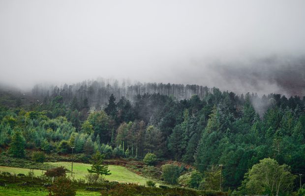
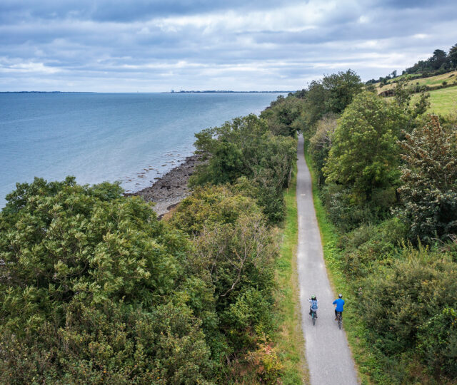
The Carlingford Lough Greenway is a cross-border route linking the picturesque heritage town of Carlingford with Newry, tracing the southern shore of Carlingford Lough. The completed section between Carlingford and Omeath runs for 7km, with extensions bringing the total length to over 10km and plans for a continuous 25km route. Hugging the old railway alignment and canal bank, the Greenway offers dramatic mountain and sea views, with the Cooley Mountains on one side and the Mourne Mountains on the other.
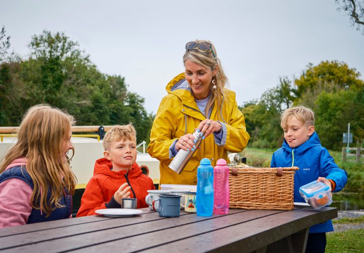
The flat, surfaced trail is accessible to all ages and abilities, making it a popular destination for families, leisure cyclists and walkers. Along the way, users can enjoy the heritage streets of Carlingford, dotted with medieval castles and town walls, or relax in Omeath, a traditional village with cafés and pubs. The northern sections link through Victoria Lock to Newry, offering both rural calm and city access. The Carlingford Lough Greenway is part of the broader Carlingford–Newry Blue/Greenway project, supported by EU INTERREG funding, which aims to boost sustainable travel and tourism in the region. It is a perfect blend of scenery, heritage and accessibility, showcasing the best of Ireland’s northeast coast.
Carlingford – Omeath
This is the best-known and most scenic section, following the coast with uninterrupted views of Carlingford Lough. On clear days, the Mourne Mountains are visible across the water. Heritage panels explain the area’s Viking, Norman and medieval history. Omeath provides services and rest stops.
Omeath – Victoria Lock
Victoria Lock – Newry
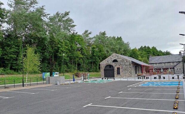
Amenities
- Toilets
- Playground
- picnic-area
- Water Fountain
- Bike Parking
- Café
- Parking