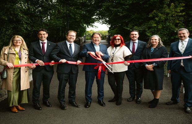
Royal Canal Greenway


Overview
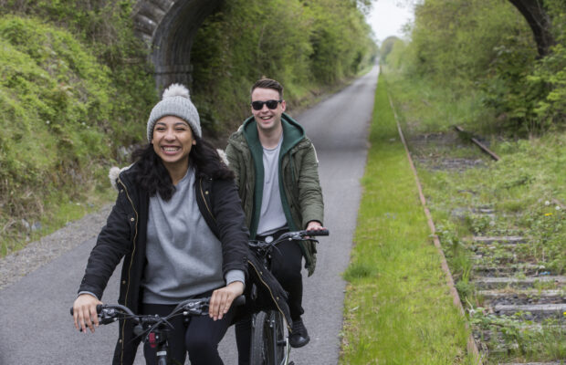
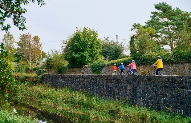
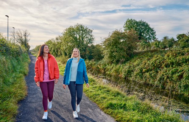
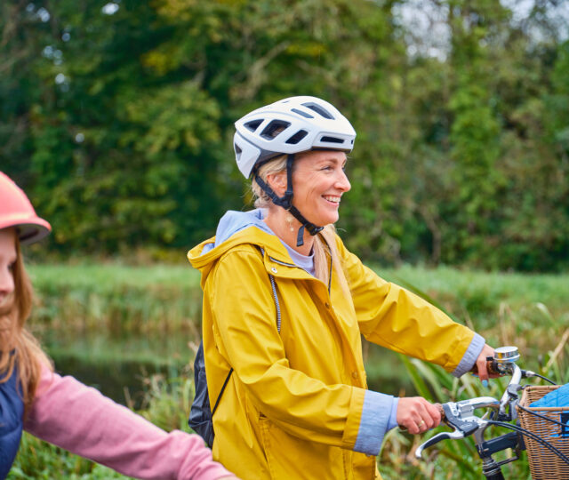
The Royal Canal Greenway is Ireland’s longest off-road walking and cycling route, stretching 130km from Maynooth in County Kildare through Enfield and Mullingar to Cloondara in County Longford, where the canal meets the River Shannon. Running along the original towpaths of the late-18th-century Royal Canal, the trail is a living heritage corridor that combines tranquillity with easy access. With its flat gradients and varied surfaces, the Greenway is suited to all abilities, whether you want a short stroll, a family bike ride, or a multi-day cycling adventure.
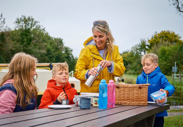
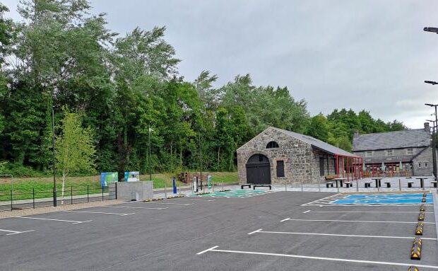
Along the way, you’ll encounter a rich collection of canal features, including cut-stone bridges, harbours, lock gates and the occasional lock-keeper’s cottage. Towns such as Kilcock, Enfield and Mullingar provide welcoming stop-offs with cafés, shops and accommodation, making it easy to plan your journey in stages. The Greenway also links to train services in several towns, allowing visitors to combine cycling or walking with rail travel. In spring and summer, wildflowers line the towpath, while autumn brings golden reflections on calm waters. Whether you’re exploring an hour from Dublin or heading west towards the Shannon, the Royal Canal Greenway is a linear park that connects city, town and countryside in a uniquely Irish way.
Maynooth – Enfield
Beginning in the university town of Maynooth, this section is accessible by rail and introduces users to the heritage of the Royal Canal. Passing Kilcock, with its marina and cafés, the route continues through farmland and meadows, with bridges and locks providing regular points of interest. Enfield offers food, rest stops and train access.
Enfield – Mullingar
Mullingar – Cloondara/Longford
Need to Know
The route between Leixlip and Dublin Port is not provided to a Greenways standard. This may mean that there is no formalised path (with a smooth surface), gradients may be steep and overhanging branches and obstacles may be present along the path.
Download Your Route
Amenities
- Accommodation
- Parking
- Toilets
- Shop
- Food & Drink
- Bike Hire
- Tourist Information
Route connects with…