Waterford Greenway


Overview
The Waterford Greenway is one of Ireland’s longest and one of its most spectacular off-road walking and cycling trails, stretching 46 kilometres from the historic Viking city of Waterford to the lively coastal town of Dungarvan. Built along the former Mallow–Waterford railway line, it has become a flagship attraction in Ireland’s Ancient East, drawing visitors to explore a unique blend of heritage, nature and community life.
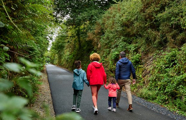
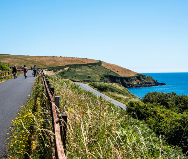
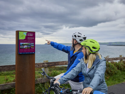
The Greenway takes you across eleven bridges, three viaducts and through a 400-metre atmospheric tunnel, with sweeping views of the River Suir, Comeragh Mountains and Dungarvan Bay. Along the way you can step off the trail to visit Mount Congreve Gardens, enjoy a short ride on the Waterford & Suir Valley narrow-gauge railway, or sample local produce in welcoming villages. Whether you choose to walk a short section with family, cycle the full distance, or pause for coffee in Kilmacthomas under its towering viaduct, the Waterford Greenway offers something for every pace and every season. With dedicated access points, bike hire, cafés and plenty of resting spots, it is a safe, inclusive and inspiring journey that connects city, countryside and coast in one continuous ribbon of adventure.
Waterford City – Killoteran
The Waterford Greenway begins at on Waterford City’s South Quays in Ireland’s oldest city, winding through the city’s outskirts along the River Suir into the countryside. Highlights include the historic Red Iron Bridge, the Thomas Francis Meagher Bridge, and the Woodstown Viking site. Discover Viking artefacts at Reginald’s Tower Museum in Waterford City, part of Waterford Treasures.
Killoteran – Kilmacthomas
Kilmacthomas – Durrow
Durrow - Clonea Road
Clonea Road – Dungarvan
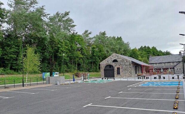
Amenities
- Parking
- Café
- Toilets
- Restaurant
- Water Fountain
- picnic-area
- bike-repair
- Bike Parking
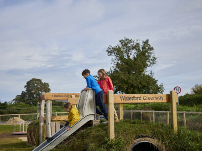
- Playground
Route connects with…