Boyne Valley to Lakelands Greenway


Overview
The Boyne Valley to Lakelands Greenway is a 30km route connecting Navan in County Meath with Kingscourt in County Cavan. Following the disused Navan–Kingscourt railway line, the greenway creates a traffic-free corridor through farmland, woodland and drumlin landscapes. The route provides a seamless link between the internationally significant heritage of the Boyne Valley — with its passage tombs, castles and historic battlefields — and the tranquil lakes and forests of Cavan.
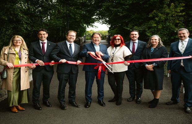
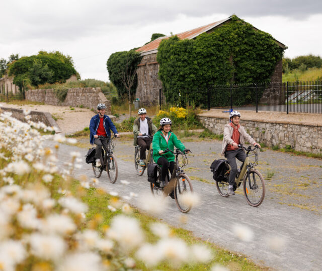
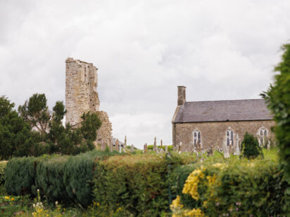
The Boyne Valley to Lakelands Greenway begins in Navan and passes through or close to the villages of Kilberry, Wilkinstown, Castletown Kilpatrick, Nobber and Kilmainhamwood before ending in Kingscourt. These small towns and villages offer travellers an opportunity for refreshments and cultural exploration. The Greenway was fully opened in 2024 following the closure of the rail line in 2001 as gypsum haulage was transported via the road network. You will see old railway stations, remnants of railway track and repurposed railway sleepers along the route.
Navan – Gibbstown Station
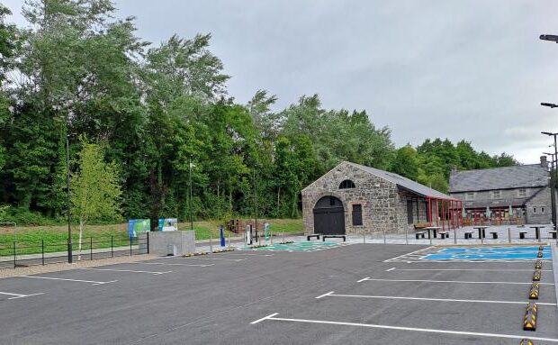
Beginning on the outskirts of Navan, the Greenway departs from Blackwater Park (there is parking available here) and quickly enters open countryside. This first stage is accessible with a bound (asphalt) surface accessible, with hedgerows and farmland providing a calm start. You will pass the Tara Mines Tailings Pond on the left side – this is a distinctive site used to store mining waste from the zinc mines. There is a formal access point at Gibbstown Station.
Gibbstown Station - Wilkinstown
Wilkinstown – Castletown
Castletown - Nobber Station
Nobber Station – Kilmainhamwood Station
Kilmainhamwood Station - Kingscourt
Need to Know
Water fill stations are available at the following locations:
Navan 53°39’59.4″N 6°41’59.5″W
Gibbstown 53°41’56.8″N 6°42’27.4″W
Nobber 53°48’47.7″N 6°44’30.6″W
Kilmainhamwood 53°50’45.0″N 6°47’38.1″W
Cycle stands and benches are located approximately every 4km along the Greenway.
Picnic tables are available at the following locations:
Gibbstown 53°41’56.8″N 6°42’27.4″W
Nobber 53°48’47.7″N 6°44’30.6″W
Bike repair stations are available at the following locations:
Gibbstown 53°41’56.8″N 6°42’27.4″W
Nobber 53°48’47.7″N 6°44’30.6″W
Kilmainhamwood 53°50’45.0″N 6°47’38.1″W
Poles Cross 53°52’07.3″N 6°48’08.4″W
The Boyne Valley to Lakelands County Greenway has a mixture of surface finishes. The below guidance is an approximate description of the surface finishes along the route.
– The section between Navan and Gibbstown is a bound (asphalt) surface.
– The section between Gibbstown and Castletown is an unbound surface (gravel).
– The Castletown Loop is a bound surface (asphalt).
– The section between Castletown and Nobber is an unbound surface (gravel).
– The Nobber Loop is a bound surface (asphalt).
– The section between Nobber and Kingscourt is an unbound surface (gravel).
Download Your Route
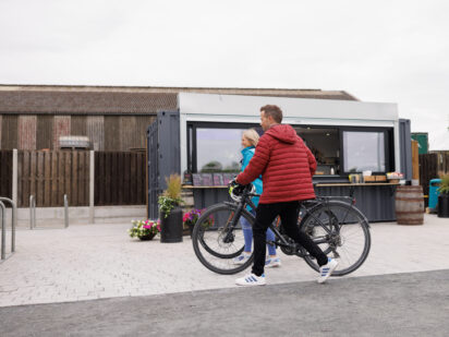
Amenities
- Café
- Bike Hire
- bus-stop
- Monastic Site
- Train Station
- Restaurant
- Toilets
- Accommodation
- Historic Attraction
- Refreshments
- Water Fountain
- Parking
- bike-repair
- Historic Home
- picnic-area
- Historic Church
- Station House