Suir Blueway

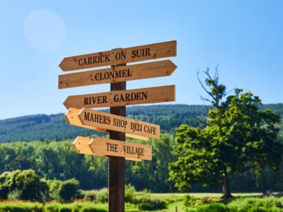
Carrick-on-Suir Clonmel
Distance
21 km
Elevation
43m
Time
Cycling: 1 hr 15 mins
Walking: 4.5 hrs
Surface Finish
Smooth Surface
Suir Blueway
Gallery image 1
Gallery image 2

Overview

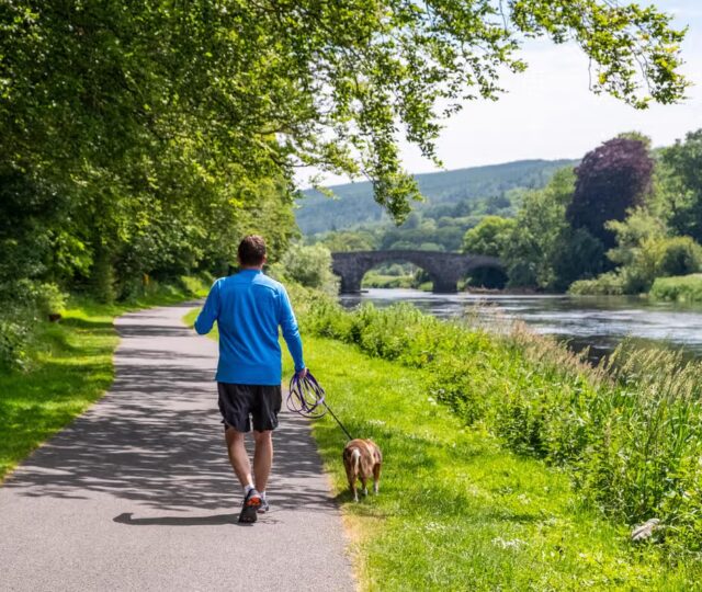
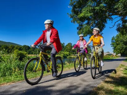
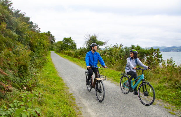
The Suir Blueway is a 21km greenway along the majestic River Suir between Carrick-on-Suir and Clonmel in County Tipperary. The route is completely off road with a smooth surface. The width of the path narrows on some extended sections from the typical greenway width of 3 meters to 2 meters. The greenway is accompanied by a 32km paddling trail on the river from Clonmel to Cahir, making this a ‘blueway’, ideal for kayaking, canoing and paddleboarding.  

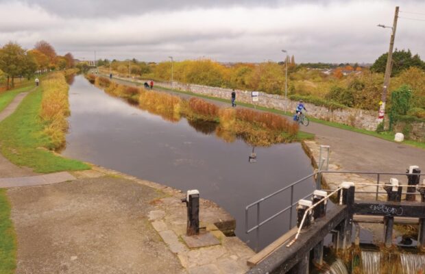
The walking and cycling trail was developed on an old towpath dating back to 1750. Originally built for horse-drawn cargo boats and nearing dereliction before being reinvented as a unique waterside space for walking, running, cycling, angling and places to meet and relax. Take in beautiful bridges, castles, towers and churches set in picturesque countryside with mountain views, all the while keeping your eyes peeled for river wildlife such as otters and herons. 

Carrick-on-Suir – Kilsheelan

11.5 km

The route starts at the Seán Healy Park in Carrick on Suir on the western side of the town. Leaving the town behind, your journey will take you along the northern bank of the River Suir. This route is also used by angling clubs with many fishing huts located along the river. The River Suir is best known for its salmon and brown trout. Please be mindful that the route is a shared space with other amenity users. The path can be subject to flooding during periods of heavy rainfall.  

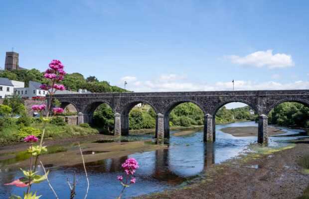
You will pass through lush farmlands, woodlands and river habitats alongside historic sites such as Davin’s Weir and Tower, Glyn Castle and Poulakerry Castle. The route narrows to 2 meters for an extended section after Ballydine. As you approach Kilsheelan, you will see the striking Kilsheelan Bridge. Erected around 1820, this is a three-arched hump bridge with an additional arch for towpath users. 

Kilsheelan – Clonmel

Need to Know

A Park Run takes place on the Suir Blueway every Saturday morning at 9.30am. For details see www.parkrun.ie/clonmel.

A full street view of the Blueway from Clonmel to Carrick on Suir is available on Google Maps (provided by Korp360) for those who want to check it out in advance.

Information on the Blueway and Itineriaries are available at www.tipperary.com/suir-blueway-tipperary

The Lower River Suir itself is a designated SAC (Special Area of Conservation) selected for many habitats such as Otter, Atlantic Salmon, Freshwater Pearl Mussel, Yew Woodlands and Old Oak Woodlands and more. 

Extensive work has been completed by the local communities located along the route to show to integrating the Suir Blueway with ecological best practices as well as enriching local community assets. Extensive signage has been installed to inform visitors and locals about the fauna and flora of the route in parrallel with efforts to clear alien species such as himalayan balsam, cherry laurel and Japenese knotweed.  

In Kilsheelan, efforts have been made to recycle products with an old septic tank reshaped into a barge to represent old cargo carriage on the river as well as the installation of bug hotels and the creation of the river garden – a showpiece garden created out of an historic resting spot of towpath dray horses. This is also a training location with projects including a willow hedging pilot intiative. Hundreds of native trees and thousands of saplings have been planted onn the Blueway or adjacent land with school children as well as local employers involved in these efforts.  

Code of conduct

Code of Conduct

To keep our greenways welcoming and safe for all users—walkers, cyclists, families, and wildlife alike—please review our Code of Conduct before you go.

Read Code of Conduct

Getting There

Whether you’re travelling by train, bus, or car, use these tools 
to plan your route.

Common Questions

How can I access the Greenway?

The route can be accessed by walker and cyclists at Carrick on Suir, Kilsheelan, Ferryhouse, Carey’s Slip (Clonmel), Mulcahy Park (Clonmel), New Quay (Clonmel).  

Canoe and kayak access points are also available along the route at Sandybanks, Newcastle Slip, Ardfinnan Slip, Swiss Cottage and Cahir Castle. 

There are other access points at junction crossings along the route but access via the formal access points is encouraged. 

How can I access the Greenway on public transport?

There is a limited train service between Clonmel and Carrick on Suir on a daily basis. This train service runs between Waterford City and Limerick Junction. Timetable information can be viewed on Irishrail.ie 

There are daily direct bus services between: 

  • Clonmel and Cork  
  • Clonmel and Waterford (including Carrick on Suir) 
  • Clonmel and Dublin 
  • Clonmel and Kilkenny  
  • Bus Eireann Routes: 245, 354, 355. 
What car parking and EV charging facilities are along the Greenway?

Ample parking is available at key entrances to the greenway, including Clonmel (Suir Island), Clonmel (Mulcahy Park), Kilsheelan (Suir Blueway Carpark),  

Designated accessible parking spaces are also available at these points. 

Electric vehicle charging points are available at: Cahir Castle Carpark, Suir Island Carpark Clonmel and Townpark Carrick on Suir. 

EV charging points are located at:

Cahir Castle Carpark (Lat: 52.374, Long: -7.926)

Suir Island Carpark, Clonmel (Lat: 52.351, Long: -7.703)

Townpark, Carrick-on-Suir (Lat: 52.348, Long: -7.410)

What is the surface type on the Greenway?

The entire route is smooth with no gravel surface along the route.

Are there any water facilities along the Greenway?

There are no water fountain facilities are available on the route. 

Are there any bike parking, repair and hire facilities along the Greenway?

There are no bike parking or repair facilities located along the route. 

Blueway Bike Hire, North Quay, Carrick on Suir is located a short distance from the Suir Blueway. Further information on their services can be found online. 

Are there any seating facilities along the Greenway?

Rest facilities are located on the route at the following locations:  

  • Treacy Park, Carrick on Suir,  – benches 
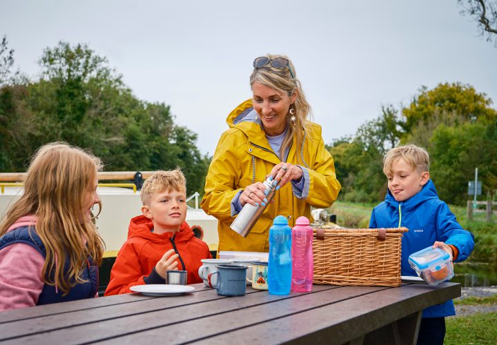
  • Suir Blueway Carpark, Kilsheelan – benches and picnic tables 
  • Clonmel, Mulcahy Park – benches, Inch Field,  
Are there any toilet facilities along the Greenway?

There are no public toilets located along the route. There are public toilets located along or near the Suir Blueway at the following locations:  

  • The Quays, Clonmel (5min walk) 
  • Mulcahy Park, Clonmel (5min walk) 
  • Carrick on Suir Garda Station, Carrick on Suir (10min walk)  
Are there any playgrounds along the Greenway?

There are play areas located close to the Suir Blueway at the following locations: Mulcahy Park, Clonmel and Carrick on Suir Playground, Carrick on Suir (10min walk from Blueway). 

News and Updates

View All
Grand Canal Greenway Update
Route Updates
11 Jun 2026

Grand Canal Greenway Update

Closure Area In 2026 approximately 2km directly south of Edenderry, generally from Blundell Aqueduct to Downshire Bridge, will be closed to the public. Following completion...
Read More about Grand Canal Greenway Update
Royal Canal Greenway Update
Route Updates
04 May 2026

Royal Canal Greenway Update

Dublin City Council, through its Active Travel Programme Office, advises that a section of the Royal Canal towpath will be temporarily closed to the public...
Read More about Royal Canal Greenway Update
Carlingford Lough Greenway Update
Route Updates
04 May 2026

Carlingford Lough Greenway Update

Users of the Carlingford Lough Greenway are advised of a temporary closure to facilitate works at Narrow Water Bridge starting on Tuesday 26 May for...
Read More about Carlingford Lough Greenway Update